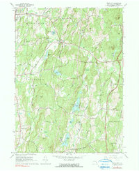
1963 Map of Rock City
USGS Topo · Published 1991About this map
Old Rhinebeck Aerodrome sits near the western edge of this 1963 survey, a notable landmark in the rural landscape between Red Hook and Rhinebeck. The map illustrates a region of small hamlets and seasonal retreats, characterized by a concentration of summer camps like Camp Boiberik and Camp Kanawha Minawha surrounding Silver Lake and Long Pond. These clusters suggest a mid-century era of recreational growth amidst the traditional agricultural terrain of northern Dutchess County.
Find a feature on this map
71 named features on this map. Tap any name to fly to it.
Don’t see what you’re looking for? This feature index may not catch every label — zoom into the map to look around manually.
Map Details
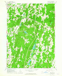
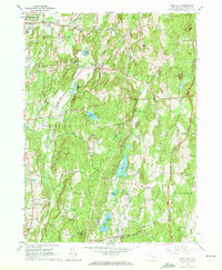
Editions of this 1963 Rock City Map
3 editions found
Other maps of this area

1895 · Catskill
USGS Topo · 1:62,500

1898 · Rhinebeck
USGS Topo · 1:62,500

1899 · Millbrook
USGS Topo · 1:62,500

1902 · Millbrook
USGS Topo · 1:62,500

1902 · Copake
USGS Topo · 1:62,500

1904 · Copake
USGS Topo · 1:62,500

1934 · Rhinebeck
USGS Topo · 1:48,000

1934 · Catskill
USGS Topo · 1:62,500

1938 · Catskill
USGS Topo · 1:62,500

1939 · Rhinebeck
USGS Topo · 1:62,500