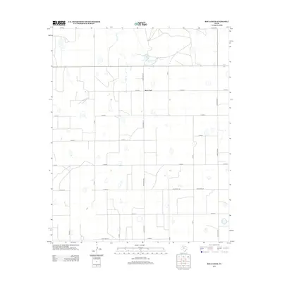
2012 Map of Rock Creek
USGS Topo · Published 2012About this map
Rock Creek serves as a central point in this agricultural landscape within Briscoe County, characterized by a regular grid of section-line roads. The drainage of Rock Cr flows northward through the terrain, eventually feeding into Mayfield Lake in the northern portion of the map. This area of the Texas Panhandle is defined by its extensive transportation network, where significant thoroughfares like Ranch Road 378 and Ranch Road 145 intersect with a dense system of county roads including Co Road K and Co Road F. The landscape is dotted with numerous small basins and depressions typical of the Llano Estacado, providing a clear view of the rural settlement patterns and water management in this high plains region during the early 21st century.
Find a feature on this map
21 named features on this map. Tap any name to fly to it.
Don’t see what you’re looking for? This feature index may not catch every label — zoom into the map to look around manually.
Map Details
Editions of this 2012 Rock Creek Map
This is the sole edition of this map. No revisions or reprints were ever made.
Other maps of this area

1954 · Plainview
USGS Topo · 1:250,000

1958 · Plainview
USGS Topo · 1:250,000

1965 · Ross Canyon
USGS Topo · 1:24,000

1965 · Whiteley
USGS Topo · 1:24,000

1965 · Silverton
USGS Topo · 1:24,000

1965 · Rock Creek
USGS Topo · 1:24,000

1965 · Silverton SW
USGS Topo · 1:24,000

1965 · Cope Creek
USGS Topo · 1:24,000

1969 · Love
USGS Topo · 1:24,000

1969 · Claytonville
USGS Topo · 1:24,000