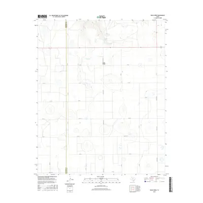
2016 Map of Rock Creek
USGS Topo · Published 2016About this map
Rock Creek serves as the focal point for this section of the Texas Panhandle, situated along the county line where Swisher Co and Briscoe Co meet. The landscape is defined by the ephemeral winding of Rock Creek and the presence of Mayfield Lake to the north, punctuating an otherwise orderly grid of rural roads. This 2016 survey illustrates a late-stage agricultural and ranching layout, where traditional county roads like Co RD 1 and Co RD X interface with established state-maintained routes including FM 284 and Ranch Rd 378. The terrain is characterized by numerous small depressions and basins typical of the Llano Estacado, providing a detailed look at the modern drainage and land-use patterns across these high plains ranchlands.
Find a feature on this map
27 named features on this map. Tap any name to fly to it.
Don’t see what you’re looking for? This feature index may not catch every label — zoom into the map to look around manually.
Map Details
Editions of this 2016 Rock Creek Map
This is the sole edition of this map. No revisions or reprints were ever made.
Other maps of this area

1954 · Plainview
USGS Topo · 1:250,000

1958 · Plainview
USGS Topo · 1:250,000

1965 · Ross Canyon
USGS Topo · 1:24,000

1965 · Whiteley
USGS Topo · 1:24,000

1965 · Silverton
USGS Topo · 1:24,000

1965 · Rock Creek
USGS Topo · 1:24,000

1965 · Silverton SW
USGS Topo · 1:24,000

1965 · Cope Creek
USGS Topo · 1:24,000

1969 · Love
USGS Topo · 1:24,000

1969 · Claytonville
USGS Topo · 1:24,000