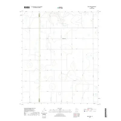
2019 Map of Rock Creek
USGS Topo · Published 2019About this map
The boundary between Swisher County and Briscoe County bisects this High Plains landscape, where agricultural land management is defined by a rigid grid of rural roads. The namesake Rock Creek settlement serves as a central point in this transition zone, where the flat upland terrain begins to break into the drainage systems of Rock Creek. The northern portion of the map is dominated by the finger-like inlets of Mayfield Lake, a significant water feature in an otherwise arid expanse of ranchland and cultivated fields.
Find a feature on this map
24 named features on this map. Tap any name to fly to it.
Don’t see what you’re looking for? This feature index may not catch every label — zoom into the map to look around manually.
Map Details
Editions of this 2019 Rock Creek Map
This is the sole edition of this map. No revisions or reprints were ever made.
Other maps of this area

1954 · Plainview
USGS Topo · 1:250,000

1958 · Plainview
USGS Topo · 1:250,000

1965 · Ross Canyon
USGS Topo · 1:24,000

1965 · Whiteley
USGS Topo · 1:24,000

1965 · Silverton
USGS Topo · 1:24,000

1965 · Rock Creek
USGS Topo · 1:24,000

1965 · Silverton SW
USGS Topo · 1:24,000

1965 · Cope Creek
USGS Topo · 1:24,000

1969 · Love
USGS Topo · 1:24,000

1969 · Claytonville
USGS Topo · 1:24,000