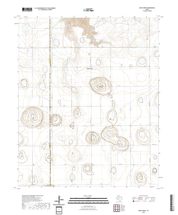
2022 Map of Rock Creek
USGS Topo · Published 2022About this map
The Swisher Co Briscoe Co line bisects this Panhandle landscape, where the flat plains are interrupted by the sudden drainage of Rock Creek. This 2022 survey captures a topography defined by significant relief at the headwaters of Rock Cr, which carves north through the terrain toward Mayfield Lake. The map reveals a highly structured grid of section roads and ranching routes, including Ranch Rd 145 and Ranch Rd 378, that provide access to the vast ranchlands between the two counties. This specific network of county roads like Co Rd K and Co Rd I illustrates the modern organization of large-scale West Texas land holdings, where the natural water systems remain the primary landmarks across the high plains.
Find a feature on this map
24 named features on this map. Tap any name to fly to it.
Don’t see what you’re looking for? This feature index may not catch every label — zoom into the map to look around manually.
Map Details
Editions of this 2022 Rock Creek Map
This is the sole edition of this map. No revisions or reprints were ever made.
Other maps of this area

1954 · Plainview
USGS Topo · 1:250,000

1958 · Plainview
USGS Topo · 1:250,000

1965 · Ross Canyon
USGS Topo · 1:24,000

1965 · Whiteley
USGS Topo · 1:24,000

1965 · Silverton
USGS Topo · 1:24,000

1965 · Rock Creek
USGS Topo · 1:24,000

1965 · Silverton SW
USGS Topo · 1:24,000

1965 · Cope Creek
USGS Topo · 1:24,000

1969 · Love
USGS Topo · 1:24,000

1969 · Claytonville
USGS Topo · 1:24,000