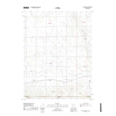
2017 Map of Rock Creek Lake
USGS Topo · Published 2017About this map
The Republican River valley carves a distinct path through the High Plains along the Kansas-Nebraska border, defining the southern landscape of this 2017 survey. This region, characterized by deep-cut drainage systems and sand-hills terrain, is shaped primarily by the southward flow of Rock Creek as it approaches its confluence with the larger river system. The map documents a landscape of large-scale agricultural divisions and section lines, typical of the rural Cheyenne County borderlands. The road network follows the grid-like pattern of the Public Land Survey System, with local routes like Rock Creek Road providing access to the more topographically complex northern reaches where the creek narrows into the surrounding uplands.
Find a feature on this map
1 named feature on this map. Tap any name to fly to it.
Don’t see what you’re looking for? This feature index may not catch every label — zoom into the map to look around manually.
Map Details
Editions of this 2017 Rock Creek Lake Map
This is the sole edition of this map. No revisions or reprints were ever made.
Other maps of this area

1942 · St. Francis
USGS Topo · 1:62,500

1943 · St. Francis
USGS Topo · 1:62,500

1951 · St Francis
USGS Topo · 1:62,500

1951 · Bird City North
USGS Topo · 1:62,500

1954 · McCook
USGS Topo · 1:250,000

1954 · Goodland
USGS Topo · 1:250,000

1956 · Goodland
USGS Topo · 1:250,000

1957 · McCook
USGS Topo · 1:250,000

1957 · Goodland
USGS Topo · 1:250,000

1958 · McCook
USGS Topo · 1:250,000