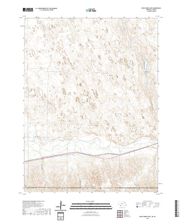
2021 Map of Rock Creek Lake
USGS Topo · Published 2021About this map
Rock Creek Lake sits in the northeastern corner of this section of Dundy County, Nebraska, near the state line. The landscape is defined by a series of significant drainage features that cut through the terrain, including Trail Canyon, Jackson Canyon, and Colter Canyon in the south. These landforms suggest a dry, dissected upland where water management and natural drainage have historically dictated the placement of roads and homesteads. The southern edge of the map is marked by the Nebraska Kansas border, with State Hwy 34 serving as the primary east-west corridor for the region. To the southeast, Hay Canyon and Patterson Canyon further complicate the topography, while a grid of local routes like Rock Creek Rd and Green Rd provide access to the surrounding rangeland.
Find a feature on this map
25 named features on this map. Tap any name to fly to it.
Don’t see what you’re looking for? This feature index may not catch every label — zoom into the map to look around manually.
Map Details
Editions of this 2021 Rock Creek Lake Map
This is the sole edition of this map. No revisions or reprints were ever made.
Other maps of this area

1942 · St. Francis
USGS Topo · 1:62,500

1943 · St. Francis
USGS Topo · 1:62,500

1951 · St Francis
USGS Topo · 1:62,500

1951 · Bird City North
USGS Topo · 1:62,500

1954 · McCook
USGS Topo · 1:250,000

1954 · Goodland
USGS Topo · 1:250,000

1956 · Goodland
USGS Topo · 1:250,000

1957 · McCook
USGS Topo · 1:250,000

1957 · Goodland
USGS Topo · 1:250,000

1958 · McCook
USGS Topo · 1:250,000