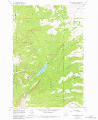
1967 Map of Rock Creek Lake
USGS Topo · Published 1981About this map
Deer Lodge National Forest dominates this topographic study, where the high mountain terrain of Powell Co. reveals a complex network of early water management and high-altitude landmarks. The central feature, Rock Creek Lake, is fed by Rock Creek Falls and surrounded by a rugged landscape defined by Deer Lodge Ridge and Emery Ridge. Notable for those tracing historical land use are the intricate irrigation and transport lines, including the Old China Ditch, Pauly Ditch, and the Kohrs and Bielenberg Jeep Trail. This 1960s survey preserves the character of the region's wilderness before later shifts in forest management, noting specific landmarks like The Crater and the alpine meadows of South America Park. Small-scale resource extraction is evidenced by a solitary Mine located near Pikes Peak, illustrating the isolated prospecting common to this portion of the Montana Rockies.
Find a feature on this map
35 named features on this map. Tap any name to fly to it.
Don’t see what you’re looking for? This feature index may not catch every label — zoom into the map to look around manually.
Map Details
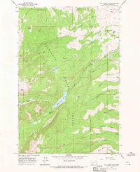
Editions of this 1967 Rock Creek Lake Map
2 editions found
Other maps of this area

1889 · Helena
USGS Topo · 1:250,000

1893 · Helena
USGS Topo · 1:250,000

1899 · Helena
USGS Topo · 1:250,000

1903 · Helena
USGS Topo · 1:250,000

1908 · Philipsburg
USGS Topo · 1:125,000

1919 · Drummond
USGS Topo · 1:125,000

1921 · Drummond
USGS Topo · 1:125,000

1947 · Butte
USGS Topo · 1:250,000

1958 · Butte
USGS Topo · 1:250,000

1958 · Drummond
USGS Topo · 1:62,500