
1963 Map of Rock Hill
USGS Topo · Published 1965About this map
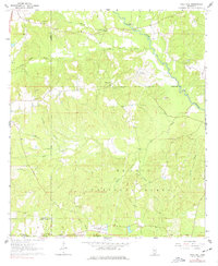
De Soto National Forest dominates this section of the Mississippi piney woods, shown here in the early 1960s as a landscape of timber and rural homesteads. The small community of Rock Hill serves as a local focal point, supported by the Rock Hill Lookout Tower and nearby County Home. The geography is defined by a dense network of watercourses, including Black Creek and Little Beaver Creek, which drain the ridges that ripple through the forest.
Find a feature on this map
34 named features on this map. Tap any name to fly to it.
Don’t see what you’re looking for? This feature index may not catch every label — zoom into the map to look around manually.
Map Details
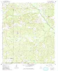
Editions of this 1963 Rock Hill Map
3 editions found
Other maps of this area

1947 · Wiggins
USGS Topo · 1:62,500

1947 · New Augusta
USGS Topo · 1:62,500

1949 · Wiggins
USGS Topo · 1:62,500

1949 · New Augusta
USGS Topo · 1:62,500

1953 · Hattiesburg
USGS Topo · 1:250,000

1953 · Mobile
USGS Topo · 1:250,000

1957 · Mobile
USGS Topo · 1:250,000

1958 · Hattiesburg
USGS Topo · 1:250,000

1958 · Carnes
USGS Topo · 1:62,500

1960 · Mobile
USGS Topo · 1:250,000