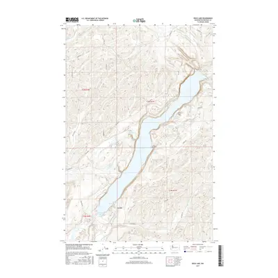
2017 Map of Rock Lake
USGS Topo · Published 2017About this map
Rock Lake dominates the center of this landscape, its linear form carved into the basalt coulees characteristic of the region. Along its western shore, the settlement of Lavista stands near Lavista Lake and the distinctive inlet known as The Arm. The map reveals a complex network of wetlands and smaller water bodies that surround the main lake, including Alkali Lake, Tule Lake, and Slaughter Pen Pond.
Find a feature on this map
38 named features on this map. Tap any name to fly to it.
Don’t see what you’re looking for? This feature index may not catch every label — zoom into the map to look around manually.
Map Details
Editions of this 2017 Rock Lake Map
This is the sole edition of this map. No revisions or reprints were ever made.
Other maps of this area

1954 · Cheney
USGS Topo · 1:62,500

1954 · Sprague
USGS Topo · 1:62,500

1955 · Spokane
USGS Topo · 1:250,000

1958 · Spokane
USGS Topo · 1:250,000

1964 · Lamont NE
USGS Topo · 1:24,000

1964 · St. John
USGS Topo · 1:24,000

1964 · Rock Lake
USGS Topo · 1:24,000

1964 · Texas Lake
USGS Topo · 1:24,000

1964 · Pine City
USGS Topo · 1:24,000

1964 · Ewan
USGS Topo · 1:24,000