
1964 Map of Rock Lake
USGS Topo · Published 1965About this map
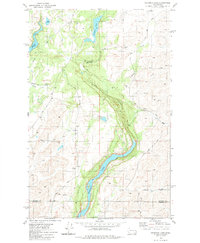
Rock Lake dominates this mid-century landscape in Whitman County, its elongated form cutting through the coulees and scablands of the region. The Chicago Milwaukee St Paul and Pacific railroad traces the eastern and western shores, providing a critical transport artery for remote outposts like Lavista and the recreational area at Johnsons Beach. The presence of small settlements such as Imbler and Wagner, along with the Eaton Cem near the western edge, suggests the long-standing agricultural and local family ties to this corner of the Palouse.
Find a feature on this map
33 named features on this map. Tap any name to fly to it.
Don’t see what you’re looking for? This feature index may not catch every label — zoom into the map to look around manually.
Map Details
Editions of this 1964 Rock Lake Map
This is the sole edition of this map. No revisions or reprints were ever made.
Other maps of this area

1954 · Cheney
USGS Topo · 1:62,500

1954 · Sprague
USGS Topo · 1:62,500

1955 · Spokane
USGS Topo · 1:250,000

1958 · Spokane
USGS Topo · 1:250,000

1964 · Lamont NE
USGS Topo · 1:24,000

1964 · St. John
USGS Topo · 1:24,000

1964 · Texas Lake
USGS Topo · 1:24,000

1964 · Pine City
USGS Topo · 1:24,000

1964 · Ewan
USGS Topo · 1:24,000
1980 · Chapman Lake
USGS Topo · 1:24,000