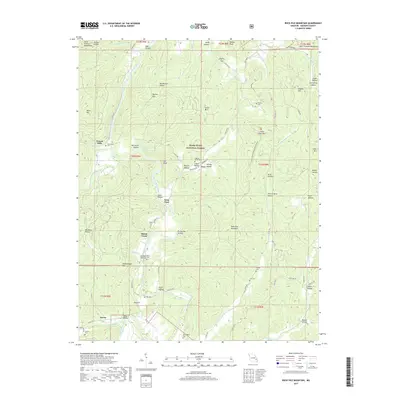
2017 Map of Rock Pile Mountain
USGS Topo · Published 2017About this map
Saint Francis River flows through this corner of the Missouri Ozarks, defining a landscape of steep-walled hollows and granite peaks within the Mark Twain National Forest. The map captures several small riverine settlements and family landmarks, including French Mills and the community of Jewett to the south. Historically significant for its connection to the mining past of Madison County, labels like Mining Hollow, Cobalt Hollow, and Faro point to the area's mineral extraction heritage.
Find a feature on this map
84 named features on this map. Tap any name to fly to it.
Don’t see what you’re looking for? This feature index may not catch every label — zoom into the map to look around manually.
Map Details
Editions of this 2017 Rock Pile Mountain Map
This is the sole edition of this map. No revisions or reprints were ever made.
Other maps of this area

1926 · Des Arc
USGS Topo · 1:62,500

1929 · Des Arc
USGS Topo · 1:62,500

1930 · Coldwater
USGS Topo · 1:62,500

1937 · Ironton
USGS Topo · 1:48,000

1939 · Fredericktown
USGS Topo · 1:48,000

1945 · Ironton
USGS Topo · 1:62,500

1946 · Ironton
USGS Topo · 1:62,500

1947 · Fredericktown
USGS Topo · 1:62,500

1949 · Rolla
USGS Topo · 1:250,000

1949 · Coldwater
USGS Topo · 1:62,500