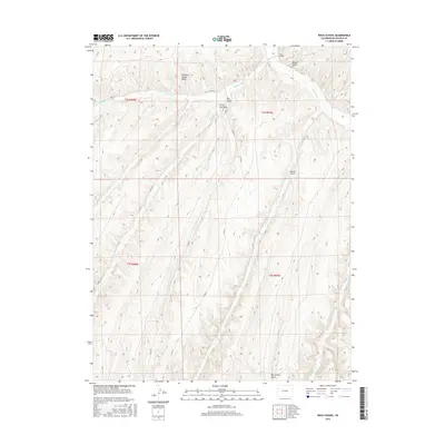
2016 Map of Rock School
USGS Topo · Published 2016About this map
The Piceance Creek Basin defines the landscape of this northwestern Colorado quadrangle, where a complex network of canyons and gulches drains into the primary waterways. The convergence of Black Sulphur Cr and Piceance Cr provides a focal point for understanding the local topography and historical movement through this region. This 2016 survey illustrates the remote character of the area, punctuated by numerous family-named or descriptive landmarks such as McKee Gulch, Enoch Gulch, and Big Jimmy Gulch. A limited network of county roads, including Co RD 5 and Co RD 26, traces the low-lying drainages, reflecting how the winding paths of Hunter Cr and Willow Cr have historically dictated access and settlement patterns in this rugged interior of Rio Blanco County.
Find a feature on this map
21 named features on this map. Tap any name to fly to it.
Don’t see what you’re looking for? This feature index may not catch every label — zoom into the map to look around manually.
Map Details
Editions of this 2016 Rock School Map
This is the sole edition of this map. No revisions or reprints were ever made.
Other maps of this area

1925 · Parachute Creek
USGS Topo · 1:62,500

1927 · Parachute Creek
USGS Topo · 1:62,500

1929 · Highmore
USGS Topo · 1:62,500

1952 · Wolf Ridge
USGS Topo · 1:24,000

1952 · Yankee Gulch
USGS Topo · 1:24,000

1952 · Rock School
USGS Topo · 1:24,000

1952 · Jessup Gulch
USGS Topo · 1:24,000

1952 · Greasewood Gulch
USGS Topo · 1:24,000

1952 · Square S Ranch
USGS Topo · 1:24,000

1956 · Grand Junction
USGS Topo · 1:250,000