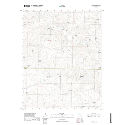
2017 Map of Rockbridge
USGS Topo · Published 2017About this map
Rockbridge and the surrounding hollows of the Ozarks are detailed in this 2017 survey, where the landscape is defined by the winding course of Bryant Creek and its many spring-fed tributaries. The map documents the border between Douglas and Ozark counties, capturing a series of small, rural settlements including Brixey, Souder, and Bertha. The topography is exceptionally intricate, characterized by numerous named "hollows" and ridges that reflect long-standing local nomenclature, such as McCord Mill Hollow and Cotton Patch Hollow.
Find a feature on this map
86 named features on this map. Tap any name to fly to it.
Don’t see what you’re looking for? This feature index may not catch every label — zoom into the map to look around manually.
Map Details
Editions of this 2017 Rockbridge Map
This is the sole edition of this map. No revisions or reprints were ever made.
Other maps of this area

1934 · Gainesville
USGS Topo · 1:48,000

1936 · Thornfield
USGS Topo · 1:48,000

1936 · Ava
USGS Topo · 1:48,000

1937 · Buckhart
USGS Topo · 1:48,000

1940 · Gainesville
USGS Topo · 1:62,500

1942 · Ava
USGS Topo · 1:62,500

1943 · Thornfield
USGS Topo · 1:62,500

1943 · Buckhart
USGS Topo · 1:62,500

1945 · Ava
USGS Topo · 1:62,500

1945 · Harrison
USGS Topo · 1:250,000