
1955 Map of Rockford
USGS Topo · Published 1957About this map
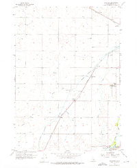
Rockford and the surrounding agricultural landscape of Bingham County are defined by a complex irrigation network of the mid-1950s. The Aberdeen Springfield Canal and Union Pacific rail line cut diagonally across the terrain, shaping the development of local hubs like Liberty and the area near the Snake River Jr High Sch. This era of development relies heavily on water management, evidenced by the Rockford Canal and various laterals including Lateral H and Lateral J.
Find a feature on this map
22 named features on this map. Tap any name to fly to it.
Don’t see what you’re looking for? This feature index may not catch every label — zoom into the map to look around manually.
Map Details
Editions of this 1955 Rockford Map
2 editions found
Other maps of this area

1940 · Blackfoot
USGS Topo · 1:62,500

1943 · Blackfoot
USGS Topo · 1:62,500

1955 · Springfield NW
USGS Topo · 1:24,000

1955 · Baldy Knoll
USGS Topo · 1:24,000

1955 · Pingree
USGS Topo · 1:24,000

1955 · Springfield
USGS Topo · 1:24,000

1955 · Idaho Falls
USGS Topo · 1:250,000

1958 · Idaho Falls
USGS Topo · 1:250,000
1971 · Fort Hall
USGS Topo · 1:24,000
1971 · Moreland
USGS Topo · 1:24,000