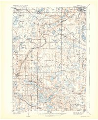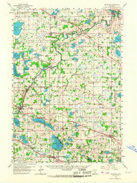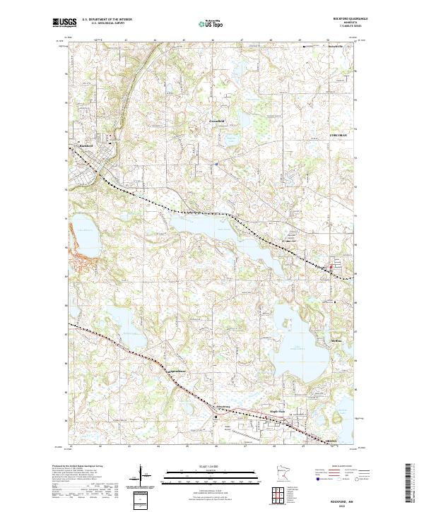
1981 Map of Rockford
USGS Topo · Published 1981About this map
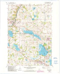
The Crow River carves the western edge of this landscape, where the city of Rockford sits at the intersection of river power and rail transport. In the early 1980s, this region of central Minnesota was characterized by a dense network of glacial lakes, including the expansive Lake Sarah and Lake Independence. The southern portion of the map is anchored by the Burlington Northern railroad, which strings together the communities of Independence and Maple Plain. Smaller settlements like Burschville and Loretto maintain their distinct identities amid a transition from agricultural plots to recreational lakeside developments. Local history is preserved in sites like the SS Peter & Paul Cem and the Village Free Ch, while the shoreline of Lake Rebecca is dedicated to public use within the Lake Rebecca County Park. Cultural landmarks such as Camp Idhuhapi and several campgrounds highlight the area's long-standing role as a retreat for the surrounding metropolitan region.
Find a feature on this map
64 named features on this map. Tap any name to fly to it.
Don’t see what you’re looking for? This feature index may not catch every label — zoom into the map to look around manually.
Map Details
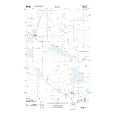
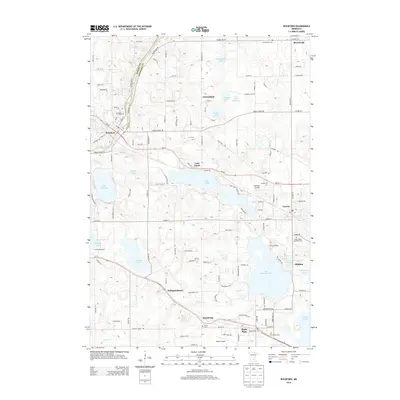
Editions of this 1981 Rockford Map
2 editions found
Historical Maps of Orono Through Time
8 maps found