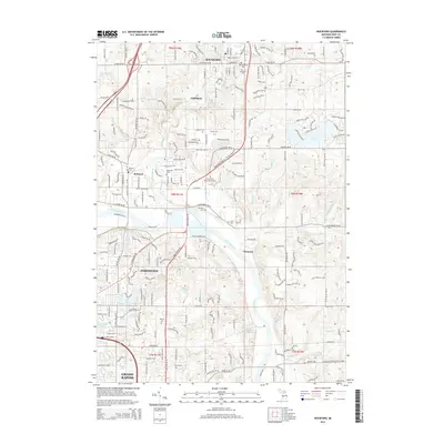
2014 Map of Rockford
USGS Topo · Published 2014About this map
The Rogue River meanders through the heart of Rockford before joining the Grand River south of Childsdale. This 2014 survey documents the suburban expansion of northern Grand Rapids and the community of Northview, illustrating how modern residential developments like Strawberry Farms and Cannon Farms integrate with the region’s older rural character. Genealogists will find a high concentration of burial sites across the landscape, from the Old Rockford Cem and Rockford Cem in the north to the Mason Cem further south.
Find a feature on this map
206 named features on this map. Tap any name to fly to it.
Don’t see what you’re looking for? This feature index may not catch every label — zoom into the map to look around manually.
Map Details
Editions of this 2014 Rockford Map
This is the sole edition of this map. No revisions or reprints were ever made.
Other maps of this area

1914 · Grand Rapids
USGS Topo · 1:62,500

1918 · Cedar Springs
USGS Topo · 1:62,500

1918 · Lowell
USGS Topo · 1:62,500

1943 · Cedar Springs
USGS Topo · 1:62,500

1943 · Grand Rapids
USGS Topo · 1:62,500

1943 · Lowell
USGS Topo · 1:62,500

1954 · Midland
USGS Topo · 1:250,000

1958 · Midland
USGS Topo · 1:250,000

1958 · Grand Rapids
USGS Topo · 1:250,000

1959 · Midland
USGS Topo · 1:250,000