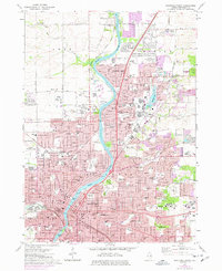
1971 Map of Rockford North
USGS Topo · Published 1977About this map
The Rock River carves a path through the heart of this mid-1970s landscape, illustrating the northward expansion of Rockford into the growing communities of Loves Park and North Park. This era shows a transition from the industrial and civic core of the city, marked by the Courthouse and Swedish-American Hospital, to the suburbanizing outskirts where the Rockford Speedway and Machesney Airport anchor local recreation and transport. The map documents an extensive social infrastructure, including the Mt St Francis Convent, Rockford College, and numerous parochial schools like St Bridgets Sch.
Find a feature on this map
213 named features on this map. Tap any name to fly to it.
Don’t see what you’re looking for? This feature index may not catch every label — zoom into the map to look around manually.
Map Details
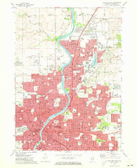
Editions of this 1971 Rockford North Map
2 editions found
Other maps of this area

1917 · Kings
USGS Topo · 1:62,500

1918 · Rockford
USGS Topo · 1:62,500

1918 · Belvidere
USGS Topo · 1:62,500

1918 · Kings
USGS Topo · 1:62,500

1918 · Kirkland
USGS Topo · 1:62,500

1938 · Rockford
USGS Topo · 1:62,500

1944 · Belvidere
USGS Topo · 1:62,500

1949 · Camp Grant
USGS Topo · 1:24,000

1949 · Rockford
USGS Topo · 1:24,000

1954 · Rockford
USGS Topo · 1:250,000