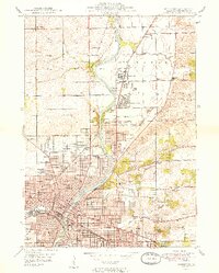
1949 Map of Rockford
USGS Topo · Published 1949About this map
The Rock River bisects this 1940s landscape, serving as the central artery for the growing industrial and residential corridor of Rockford. This survey reveals an era of significant expansion, where neighborhoods like Loves Park and Colonial Gardens emerge alongside a dense concentration of civic institutions, including Rockford College and several major medical facilities like St Anthony Hosp and Swedish American Hosp. The transportation network is remarkably complex, featuring a web of railroads including the Illinois Central and the Chicago Milwaukee St Paul and Pacific that serviced the city's manufacturing core.
Find a feature on this map
62 named features on this map. Tap any name to fly to it.
Don’t see what you’re looking for? This feature index may not catch every label — zoom into the map to look around manually.
Map Details
Editions of this 1949 Rockford Map
2 editions found
Other maps of this area
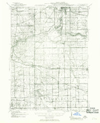
1917 · Kings
USGS Topo · 1:62,500
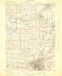
1918 · Rockford
USGS Topo · 1:62,500
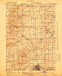
1918 · Belvidere
USGS Topo · 1:62,500
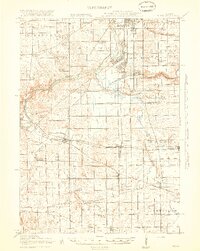
1918 · Kings
USGS Topo · 1:62,500
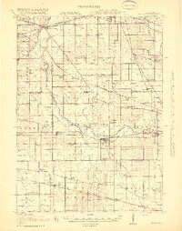
1918 · Kirkland
USGS Topo · 1:62,500
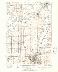
1938 · Rockford
USGS Topo · 1:62,500
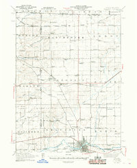
1944 · Belvidere
USGS Topo · 1:62,500
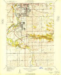
1949 · Camp Grant
USGS Topo · 1:24,000

1954 · Rockford
USGS Topo · 1:250,000

1955 · Rockford
USGS Topo · 1:250,000