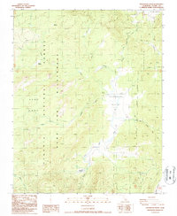
1987 Map of Rockhouse Basin
USGS Topo · Published 1987About this map
South Fork Kern River winds through this high-altitude landscape of the Sequoia National Forest, defining the hydrological character of the Rockhouse Basin. In the late 1980s, this area remained largely primitive, dominated by the protected Dome Land Wilderness and characterized by its network of seasonal meadows. High-country drainage is provided by Trout Creek, Fish Creek, and Tibbets Creek, which feed into the primary river system.
Find a feature on this map
17 named features on this map. Tap any name to fly to it.
Don’t see what you’re looking for? This feature index may not catch every label — zoom into the map to look around manually.
Map Details
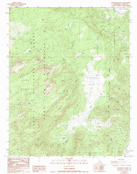
Editions of this 1987 Rockhouse Basin Map
2 editions found
Other maps of this area

1905 · Olancha
USGS Topo · 1:125,000

1906 · Kernville
USGS Topo · 1:125,000

1907 · Olancha
USGS Topo · 1:125,000

1908 · Kernville
USGS Topo · 1:125,000

1948 · Bakersfield
USGS Topo · 1:250,000

1948 · Fresno
USGS Topo · 1:250,000

1955 · Bakersfield
USGS Topo · 1:250,000

1955 · Fresno
USGS Topo · 1:250,000

1956 · Bakersfield
USGS Topo · 1:250,000

1956 · Fresno
USGS Topo · 1:250,000