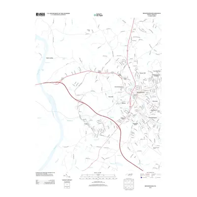
2013 Map of Rockingham
USGS Topo · Published 2013About this map
Rockingham and its surrounding suburbs dominate this Richmond County landscape, illustrating a dense network of residential developments and industrial corridors. The city is flanked by distinctive neighborhoods like Bunker Hill, Honey Town, and East Rockingham, reflecting the local expansion of this regional hub. The Pee Dee River defines the western edge of the area, where the terrain transitions from the riverbanks at Walls Landing toward the elevated residential tracts of Yates Hill.
Find a feature on this map
277 named features on this map. Tap any name to fly to it.
Don’t see what you’re looking for? This feature index may not catch every label — zoom into the map to look around manually.
Map Details
Editions of this 2013 Rockingham Map
This is the sole edition of this map. No revisions or reprints were ever made.
Other maps of this area

1942 · Troy
USGS Topo · 1:125,000

1942 · Rockingham
USGS Topo · 1:125,000

1949 · Millstone Lake
USGS Topo · 1:24,000

1949 · Ghio
USGS Topo · 1:24,000

1949 · Hamlet
USGS Topo · 1:24,000

1949 · Hamlet
USGS Topo · 1:62,500

1949 · Jackson Springs
USGS Topo · 1:62,500

1953 · Florence
USGS Topo · 1:250,000

1953 · Raleigh
USGS Topo · 1:250,000

1954 · Florence
USGS Topo · 1:250,000