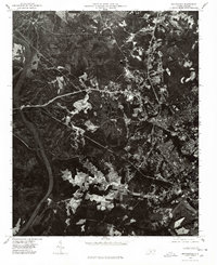
1976 Map of Rockingham
USGS Topo · Published 1978About this map
The Pee Dee River dominates the western edge of this 1976 orthophotomap, showing the Richmond County landscape as it appeared during the mid-seventies. This specialized aerial-based survey provides a photographic record of the terrain, capturing the clear-cut patterns of local forestry and the footprint of industrial development near Cordova. Unlike traditional line maps, this orthophotograph reveals the exact texture of the land, from the dense woodland to the residential blocks of Pine Grove. The transition from rural agriculture to more concentrated industrial and suburban pockets is visible through the varied land-use patches, reflecting the area's growth and the importance of the river corridor for the region's historical development.
Find a feature on this map
3 named features on this map. Tap any name to fly to it.
Don’t see what you’re looking for? This feature index may not catch every label — zoom into the map to look around manually.
Map Details
Editions of this 1976 Rockingham Map
This is the sole edition of this map. No revisions or reprints were ever made.
Other maps of this area

1942 · Troy
USGS Topo · 1:125,000

1942 · Rockingham
USGS Topo · 1:125,000

1949 · Millstone Lake
USGS Topo · 1:24,000

1949 · Ghio
USGS Topo · 1:24,000

1949 · Hamlet
USGS Topo · 1:24,000

1949 · Hamlet
USGS Topo · 1:62,500

1949 · Jackson Springs
USGS Topo · 1:62,500

1953 · Florence
USGS Topo · 1:250,000

1953 · Raleigh
USGS Topo · 1:250,000

1954 · Florence
USGS Topo · 1:250,000