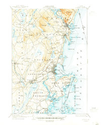
1906 Map of Rockland
USGS Topo · Published 1946About this map
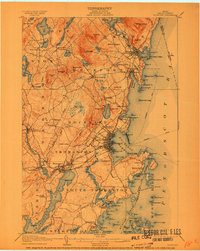
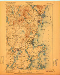
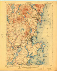
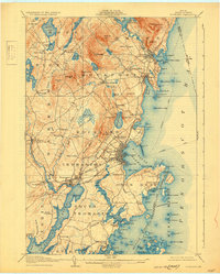
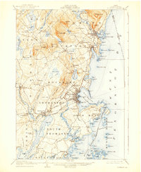
Rockland and its busy deep-water harbor anchor this coastal Maine landscape during a period of significant maritime and industrial activity. The map reveals a dense network of transportation, including the Maine Central RR and several lines of the Electric RR connecting hubs like Camden, Rockport, and Thomaston. These rail lines served as the arteries for the region's lime and granite industries, which are evidenced by the numerous quarries and processing sites scattered through the hills. Inland, the terrain is marked by prominent elevations such as Mt Megunticook and Ragged Mtn, which overlook a series of freshwater bodies including Megunticook Lake and Chickawaukie Pond. Along the coast, the intricate shoreline is dotted with small landings and settlements like Sprucehead, Ash Point, and Glen Cove, reflecting a legacy of fishing and granite transport. Small crossroads like Simonton Corners and Blackinton Corners provide a look at the rural settlement patterns that supported the larger coastal ports.
Find a feature on this map
163 named features on this map. Tap any name to fly to it.
Don’t see what you’re looking for? This feature index may not catch every label — zoom into the map to look around manually.
Map Details
Editions of this 1906 Rockland Map
7 editions found

Other maps of this area

1902 · Castine
USGS Topo · 1:62,500

1904 · Castine
USGS Topo · 1:62,500

1904 · Vinalhaven
USGS Topo · 1:62,500

1904 · Monhegan
USGS Topo · 1:62,500

1904 · Tenants Harbor
USGS Topo · 1:62,500

1904 · Rockland
USGS Topo · 1:62,500

1905 · Penobscot Bay
USGS Topo · 1:125,000

1906 · Matinicus
USGS Topo · 1:62,500

1906 · Tennant Harbor
USGS Topo · 1:62,500

1906 · Monhegan
USGS Topo · 1:62,500