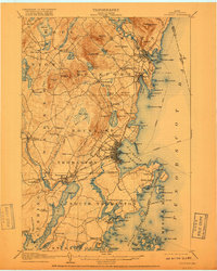
1906 Map of Rockland
USGS Topo · Published 1918About this map
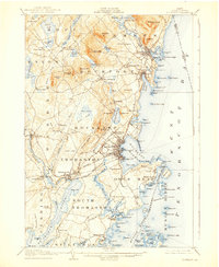
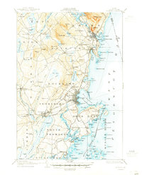
Rockland and the surrounding Midcoast harbors of Camden and Rockport are depicted in this early twentieth-century survey, revealing a landscape defined by its maritime connections and emerging inland industry. The coastal economy is evidenced by the detailed Steamboat Route tracks crossing Penobscot Bay and the specialized Electric Route running north from the city. Inland, the importance of water power is marked at Wattons Mill and along the Megunticook River, while the numerous ponds like Chickawaukie Pond and Megunticook Lake dominate the terrain between the heights of Mt Megunticook and Ragged Mtn.
Find a feature on this map
163 named features on this map. Tap any name to fly to it.
Don’t see what you’re looking for? This feature index may not catch every label — zoom into the map to look around manually.
Map Details
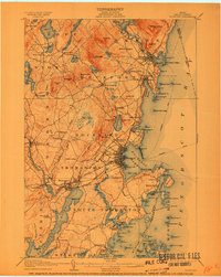
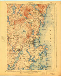
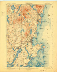
Editions of this 1906 Rockland Map
7 editions found

Other maps of this area

1902 · Castine
USGS Topo · 1:62,500

1904 · Castine
USGS Topo · 1:62,500

1904 · Vinalhaven
USGS Topo · 1:62,500

1904 · Monhegan
USGS Topo · 1:62,500

1904 · Tenants Harbor
USGS Topo · 1:62,500

1904 · Rockland
USGS Topo · 1:62,500

1905 · Penobscot Bay
USGS Topo · 1:125,000

1906 · Matinicus
USGS Topo · 1:62,500

1906 · Tennant Harbor
USGS Topo · 1:62,500

1906 · Monhegan
USGS Topo · 1:62,500