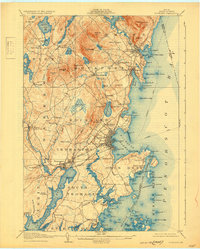
1906 Map of Rockland
USGS Topo · Published 1931About this map
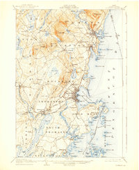
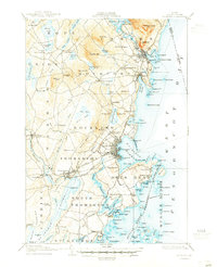
Rockland and its surrounding coastal villages are shown here at a moment of transition in Maine’s maritime and industrial history. The intricate shoreline of Penobscot Bay is a focal point, documented before mid-century changes, revealing the early infrastructure of the Maine Central RR and the Electric Route that linked these seaside communities. To the north, the elevations of Mt Megunticook and Mt Battie loom over Camden and its harbor, while to the south, the Owls Head LH marks the entrance to the inner channel.
Find a feature on this map
166 named features on this map. Tap any name to fly to it.
Don’t see what you’re looking for? This feature index may not catch every label — zoom into the map to look around manually.
Map Details
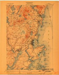
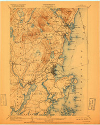
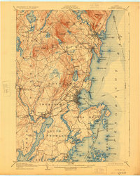
Editions of this 1906 Rockland Map
7 editions found

Other maps of this area

1902 · Castine
USGS Topo · 1:62,500

1904 · Castine
USGS Topo · 1:62,500

1904 · Vinalhaven
USGS Topo · 1:62,500

1904 · Monhegan
USGS Topo · 1:62,500

1904 · Tenants Harbor
USGS Topo · 1:62,500

1904 · Rockland
USGS Topo · 1:62,500

1905 · Penobscot Bay
USGS Topo · 1:125,000

1906 · Matinicus
USGS Topo · 1:62,500

1906 · Tennant Harbor
USGS Topo · 1:62,500

1906 · Monhegan
USGS Topo · 1:62,500