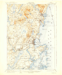
1906 Map of Rockland
USGS Topo · Published 1938About this map
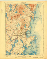
The coastal harbor of Rockland and the rugged interior of Knox County are documented here during a period of industrial transition in the early twentieth century. The Maine Central R R Rockland Branch connects the major maritime hubs of Thomaston and Rockland, while a extensive Electric R R line facilitates movement between the shipyards and the quarrying uplands. This survey, based on 1904 topography by T. Foster Slaughter and others, captures the distinct hierarchy of settlements from the established towns of Camden and Rockport to smaller rural crossroads like Simonton Corners and Blackinton Corners. Coastal landmarks such as the Curtis I lighthouse and Owls Head guide mariners into the complex reaches of Penobscot Bay, while the interior is defined by family-named landscape features like Wattons Mill, Gurney Hill, and Lermond Pond.
Find a feature on this map
169 named features on this map. Tap any name to fly to it.
Don’t see what you’re looking for? This feature index may not catch every label — zoom into the map to look around manually.
Map Details
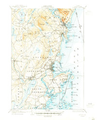
Editions of this 1906 Rockland Map
7 editions found

Other maps of this area

1902 · Castine
USGS Topo · 1:62,500

1904 · Castine
USGS Topo · 1:62,500

1904 · Vinalhaven
USGS Topo · 1:62,500

1904 · Monhegan
USGS Topo · 1:62,500

1904 · Tenants Harbor
USGS Topo · 1:62,500

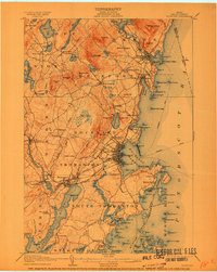
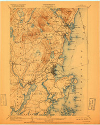
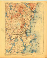
1904 · Rockland
USGS Topo · 1:62,500

1905 · Penobscot Bay
USGS Topo · 1:125,000

1906 · Matinicus
USGS Topo · 1:62,500

1906 · Tennant Harbor
USGS Topo · 1:62,500

1906 · Monhegan
USGS Topo · 1:62,500