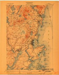
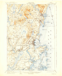
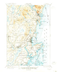
1906 Map of Rockland
USGS Topo · Published 1910About this map
The Maine Central and Electric RR lines serve as the industrial backbone of this Knox County coastline during the early twentieth century. Deeply indented by Rockland Harbor and Rockport Harbor, the landscape is defined by its maritime connections, evidenced by several Steamboat routes threading between Northeast Point and the Muscle Ridge. This coastal activity is balanced by inland settlements and small industrial sites like Wattons Mill and Blackinton Corners. High points such as Mt Battie and Mt Megunticook overlook a topography where granite and lime resources were being actively mapped. The geography reveals a transition from the commercial density of Rockland and Camden to the rural pockets of South Thomaston and Sharkeyville, providing a detailed view of the region's transport network before the dominance of modern highways.
Find a feature on this map
204 named features on this map. Tap any name to fly to it.
Don’t see what you’re looking for? This feature index may not catch every label — zoom into the map to look around manually.
Map Details
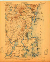
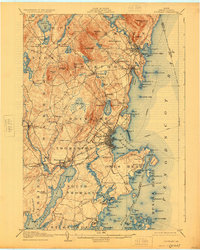
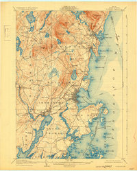
Editions of this 1906 Rockland Map
7 editions found

Other maps of this area

1902 · Castine
USGS Topo · 1:62,500

1904 · Castine
USGS Topo · 1:62,500

1904 · Vinalhaven
USGS Topo · 1:62,500

1904 · Monhegan
USGS Topo · 1:62,500

1904 · Tenants Harbor
USGS Topo · 1:62,500

1904 · Rockland
USGS Topo · 1:62,500

1905 · Penobscot Bay
USGS Topo · 1:125,000

1906 · Matinicus
USGS Topo · 1:62,500

1906 · Tennant Harbor
USGS Topo · 1:62,500

1906 · Monhegan
USGS Topo · 1:62,500