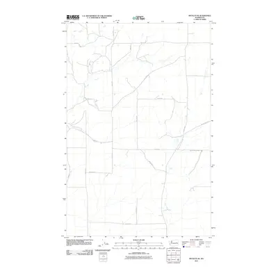
2011 Map of Rocklyn SE
USGS Topo · Published 2011About this map
Lincoln County farmland, characterized by a structured grid of rural roads and scattered water features, is meticulously documented by the U.S. Department of the Interior. The landscape is defined by the intersection of family-named corridors such as Kupers Rd N and Mielke Rd E, which reflect the area's deep agricultural history. Transportation routes like Valley Rd N and Rocklyn Rd N connect remote homesteads to more established thoroughfares. To the northeast, Whitaker Lake Rd E provides access to local water bodies, while the presence of Harrington Airport Rd E in the southern portion of the map suggests connections to the wider region. This topographical study highlights the persistent layout of Washington's wheat-growing country, where drainage patterns and unpaved roads follow the natural contours of the inland plateau.
Find a feature on this map
17 named features on this map. Tap any name to fly to it.
Don’t see what you’re looking for? This feature index may not catch every label — zoom into the map to look around manually.
Map Details
Editions of this 2011 Rocklyn SE Map
This is the sole edition of this map. No revisions or reprints were ever made.
Other maps of this area

1953 · Ritzville
USGS Topo · 1:250,000

1959 · Ritzville
USGS Topo · 1:250,000

1965 · Ritzville
USGS Topo · 1:250,000

1969 · Rocklyn SW
USGS Topo · 1:24,000

1969 · Bluestem
USGS Topo · 1:24,000

1969 · Harrington
USGS Topo · 1:24,000

1969 · Lords Valley
USGS Topo · 1:24,000

1969 · Cormana Lake
USGS Topo · 1:24,000

1969 · Telford
USGS Topo · 1:24,000

1969 · Rocklyn
USGS Topo · 1:24,000