
1969 Map of Cormana Lake
USGS Topo · Published 1972About this map
Cormana Lake and the surrounding coulees of Lincoln County are captured here just as the regional transport network was transitioning in the late 1960s. The landscape is defined by the Burlington Northern railroad corridor, which skirts the southeastern corner of the map near the small settlement of Downs. Further west, the map identifies the location of Mona, providing a precise look at these rural outposts and their connection to the wider wheat-growing region.
Find a feature on this map
12 named features on this map. Tap any name to fly to it.
Don’t see what you’re looking for? This feature index may not catch every label — zoom into the map to look around manually.
Map Details
Editions of this 1969 Cormana Lake Map
This is the sole edition of this map. No revisions or reprints were ever made.
Other maps of this area

1953 · Ritzville
USGS Topo · 1:250,000

1959 · Ritzville
USGS Topo · 1:250,000

1965 · Ritzville
USGS Topo · 1:250,000

1968 · Sylvan Lake
USGS Topo · 1:24,000

1968 · Coffeepot Lake
USGS Topo · 1:24,000

1969 · Rocklyn SW
USGS Topo · 1:24,000

1969 · Harrington
USGS Topo · 1:24,000

1969 · Lamona
USGS Topo · 1:24,000
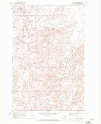
1969 · Rocklyn SE
USGS Topo · 1:24,000
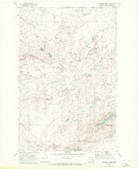
1969 · Swanson Lakes
USGS Topo · 1:24,000