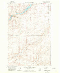
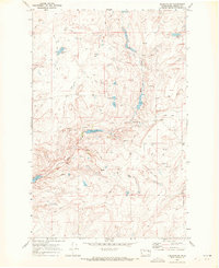
1968 Map of Coffeepot Lake
USGS Topo · Published 1971About this map
Coffeepot Lake dominates this rugged portion of the Channeled Scablands, where the landscape is defined by the stark erosion of the Columbia River Basalt Group. Captured in the late 1960s, the terrain shows a sparse but functional network of resource extraction and water management. To the west, Deer Lake and Duck Lake sit within the coulee system, while Duck Creek carves a path through the southern reaches of the quadrangle.
Find a feature on this map
13 named features on this map. Tap any name to fly to it.
Don’t see what you’re looking for? This feature index may not catch every label — zoom into the map to look around manually.
Map Details
Editions of this 1968 Coffeepot Lake Map
This is the sole edition of this map. No revisions or reprints were ever made.
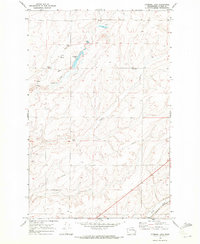
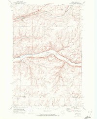
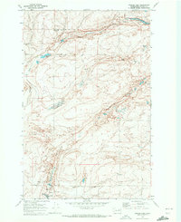
Other maps of this area

1953 · Ritzville
USGS Topo · 1:250,000

1959 · Ritzville
USGS Topo · 1:250,000

1965 · Ritzville
USGS Topo · 1:250,000
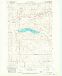
1968 · Sylvan Lake
USGS Topo · 1:24,000
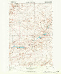
1968 · Pacific Lake
USGS Topo · 1:24,000
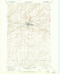
1968 · Odessa
USGS Topo · 1:24,000
1969 · Rocklyn SW
USGS Topo · 1:24,000
1969 · Cormana Lake
USGS Topo · 1:24,000
1969 · Lamona
USGS Topo · 1:24,000
1969 · Draper Lake
USGS Topo · 1:24,000