
1968 Map of Pacific Lake
USGS Topo · Published 1971About this map
Pacific Lake and its surrounding water bodies define this Lincoln County landscape, showing a concentrated network of lakes and springs within a complex system of basalt coulees and depressions. The presence of several family-named features like Woderspahn Lake, Tavares Lake, Neves Lake, and Browns Lake suggests a history of private landownership and early ranching settlements in this part of Washington. Notable access points such as Allington Bay and multiple Boat Ramps on the south side of the main lake indicate the area's development for recreation and local utility by the late 1960s.
Find a feature on this map
21 named features on this map. Tap any name to fly to it.
Don’t see what you’re looking for? This feature index may not catch every label — zoom into the map to look around manually.
Map Details
Editions of this 1968 Pacific Lake Map
This is the sole edition of this map. No revisions or reprints were ever made.
Other maps of this area

1953 · Ritzville
USGS Topo · 1:250,000

1959 · Ritzville
USGS Topo · 1:250,000

1965 · Ritzville
USGS Topo · 1:250,000

1968 · Irby
USGS Topo · 1:24,000

1968 · Sylvan Lake
USGS Topo · 1:24,000

1968 · Coffeepot Lake
USGS Topo · 1:24,000
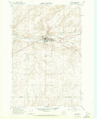
1968 · Odessa
USGS Topo · 1:24,000

1968 · Sullivan Lake
USGS Topo · 1:24,000

1969 · Almira SE
USGS Topo · 1:24,000
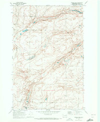
1969 · Draper Lake
USGS Topo · 1:24,000