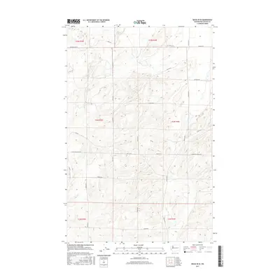
2017 Map of Rocklyn SE
USGS Topo · Published 2017About this map
Agricultural land and undulating terrain in Lincoln County define this area of Washington during the early twenty-first century. The landscape is characterized by a grid-like network of rural roads that serve as the primary infrastructure for local travel and transport. Significant routes such as Whitaker Lake Rd and Knack Rd cut across the high ground, while more specific agrarian markers like Seven Springs Dairy Rd and Harrington Airport Rd hint at the local industries and infrastructure supporting the community.
Find a feature on this map
24 named features on this map. Tap any name to fly to it.
Don’t see what you’re looking for? This feature index may not catch every label — zoom into the map to look around manually.
Map Details
Editions of this 2017 Rocklyn SE Map
This is the sole edition of this map. No revisions or reprints were ever made.
Other maps of this area

1953 · Ritzville
USGS Topo · 1:250,000

1959 · Ritzville
USGS Topo · 1:250,000

1965 · Ritzville
USGS Topo · 1:250,000

1969 · Rocklyn SW
USGS Topo · 1:24,000

1969 · Bluestem
USGS Topo · 1:24,000

1969 · Harrington
USGS Topo · 1:24,000

1969 · Lords Valley
USGS Topo · 1:24,000

1969 · Cormana Lake
USGS Topo · 1:24,000

1969 · Telford
USGS Topo · 1:24,000

1969 · Rocklyn
USGS Topo · 1:24,000