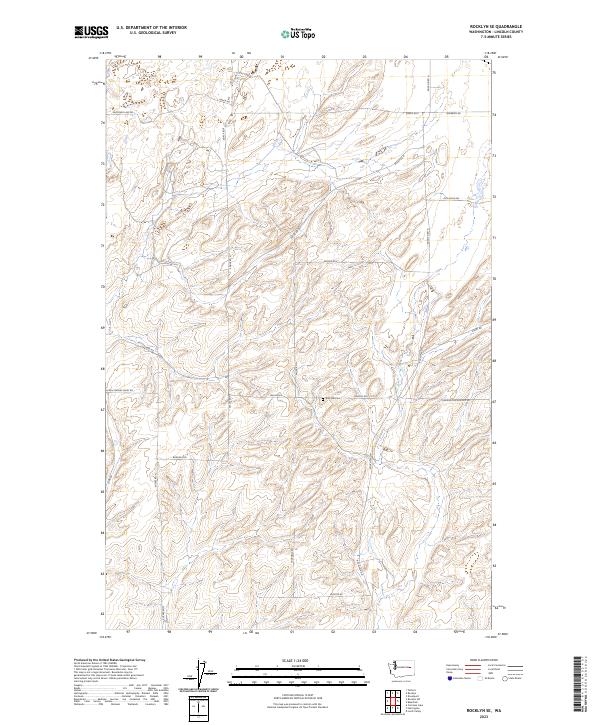
2023 Map of Rocklyn SE
USGS Topo · Published 2023About this map
Zion Hill Cem stands as a quiet landmark amidst the agricultural landscape of Lincoln County, situated near the intersection of Church Rd E and Miller Rd N. This region is defined by a rhythmic pattern of drainages and upland plateaus, where a network of gravel and section-line roads provides access to isolated farmsteads and rural properties. The naming of routes like Seven Springs Dairy Rd, Old Kuchs Rd, and Mayberry Rd reflects the deep-rooted family lineage and agricultural heritage of this part of Washington. To the southeast, the terrain transitions toward the airfield infrastructure marked by Harrington Airport Rd. The map illustrates a landscape of modern land management within the historic Public Land Survey System, showing the clearly defined townships and ranges that have organized this territory since the early days of settlement.
Find a feature on this map
27 named features on this map. Tap any name to fly to it.
Don’t see what you’re looking for? This feature index may not catch every label — zoom into the map to look around manually.
Map Details
Editions of this 2023 Rocklyn SE Map
This is the sole edition of this map. No revisions or reprints were ever made.
Other maps of this area

1953 · Ritzville
USGS Topo · 1:250,000

1959 · Ritzville
USGS Topo · 1:250,000

1965 · Ritzville
USGS Topo · 1:250,000

1969 · Rocklyn SW
USGS Topo · 1:24,000

1969 · Bluestem
USGS Topo · 1:24,000

1969 · Harrington
USGS Topo · 1:24,000

1969 · Lords Valley
USGS Topo · 1:24,000

1969 · Cormana Lake
USGS Topo · 1:24,000

1969 · Telford
USGS Topo · 1:24,000

1969 · Rocklyn
USGS Topo · 1:24,000