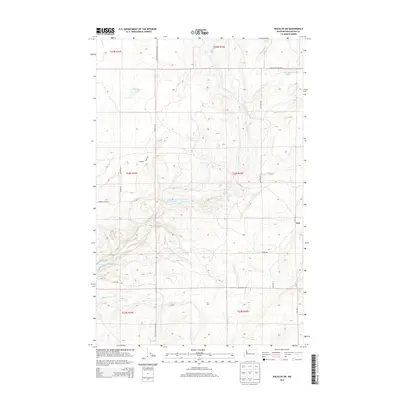
2013 Map of Rocklyn SW
USGS Topo · Published 2013About this map
The settlement of Earl anchors this part of Lincoln County, situated among a network of lakes and springs that define the local geography. Significant water bodies like Florence Lake, Wall Lake, and the Twin Lakes are joined by the meandering course of Lake Creek and its seasonal tributaries. The map documents an area where early transport and agriculture were closely linked, as seen in the presence of the 7 Springs Dairy Railroad and the corresponding 7 Springs Dairy Rd.
Find a feature on this map
27 named features on this map. Tap any name to fly to it.
Don’t see what you’re looking for? This feature index may not catch every label — zoom into the map to look around manually.
Map Details
Editions of this 2013 Rocklyn SW Map
This is the sole edition of this map. No revisions or reprints were ever made.
Other maps of this area

1953 · Ritzville
USGS Topo · 1:250,000

1959 · Ritzville
USGS Topo · 1:250,000

1965 · Ritzville
USGS Topo · 1:250,000

1968 · Coffeepot Lake
USGS Topo · 1:24,000

1969 · Rocklyn SW
USGS Topo · 1:24,000

1969 · Harrington
USGS Topo · 1:24,000

1969 · Cormana Lake
USGS Topo · 1:24,000

1969 · Telford
USGS Topo · 1:24,000

1969 · Rocklyn
USGS Topo · 1:24,000

1969 · Creston Butte
USGS Topo · 1:24,000