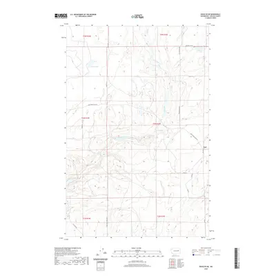
2020 Map of Rocklyn SW
USGS Topo · Published 2020About this map
The settlement of Earl sits along the eastern edge of this Lincoln County landscape, situated within a network of drainage basins and isolated lakes. The terrain is defined by a series of significant water bodies including Florence Lake, Wall Lake, and Whittaker Lake, which punctuate the dry rangeland. Water movement is channeled through Lake Cr and Duck Cr, while Seven Springs provides a focal point for the local hydrology.
Find a feature on this map
24 named features on this map. Tap any name to fly to it.
Don’t see what you’re looking for? This feature index may not catch every label — zoom into the map to look around manually.
Map Details
Editions of this 2020 Rocklyn SW Map
This is the sole edition of this map. No revisions or reprints were ever made.
Other maps of this area

1953 · Ritzville
USGS Topo · 1:250,000

1959 · Ritzville
USGS Topo · 1:250,000

1965 · Ritzville
USGS Topo · 1:250,000

1968 · Coffeepot Lake
USGS Topo · 1:24,000

1969 · Rocklyn SW
USGS Topo · 1:24,000

1969 · Harrington
USGS Topo · 1:24,000

1969 · Cormana Lake
USGS Topo · 1:24,000

1969 · Telford
USGS Topo · 1:24,000

1969 · Rocklyn
USGS Topo · 1:24,000

1969 · Creston Butte
USGS Topo · 1:24,000