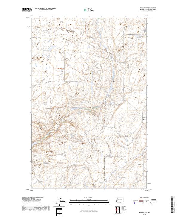
2023 Map of Rocklyn SW
USGS Topo · Published 2023About this map
Lake Creek winds through this section of Lincoln County, defining a landscape of coulees and scattered water bodies characteristic of the Channeled Scablands. The small settlement of Earl sits along Earl Rd in the eastern portion of the map, serving as a rare point of habitation in a territory primarily organized by its rural road network. Significant named basins including Florence Lake, Wall Lake, and Whittaker Lake are distributed across the terrain, reflecting the area's complex glacial drainage history. The grid of country roads, such as Grant Rd N and Telford South Rd, follows the Public Land Survey System boundaries, tracing the paths of local travel and agriculture between Seven Springs and the Twin Lakes in the southwest. This map records the modern configuration of these historic prairie routes and their relationship to the seasonal flow of Duck Creek.
Find a feature on this map
24 named features on this map. Tap any name to fly to it.
Don’t see what you’re looking for? This feature index may not catch every label — zoom into the map to look around manually.
Map Details
Editions of this 2023 Rocklyn SW Map
This is the sole edition of this map. No revisions or reprints were ever made.
Other maps of this area

1953 · Ritzville
USGS Topo · 1:250,000

1959 · Ritzville
USGS Topo · 1:250,000

1965 · Ritzville
USGS Topo · 1:250,000

1968 · Coffeepot Lake
USGS Topo · 1:24,000

1969 · Rocklyn SW
USGS Topo · 1:24,000

1969 · Harrington
USGS Topo · 1:24,000

1969 · Cormana Lake
USGS Topo · 1:24,000

1969 · Telford
USGS Topo · 1:24,000

1969 · Rocklyn
USGS Topo · 1:24,000

1969 · Creston Butte
USGS Topo · 1:24,000