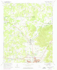
1968 Map of Rockmart North
USGS Topo · Published 1974About this map
The industrial and transport corridors of Polk County are clearly defined in this mid-century survey, centered on the intersection of the Southern Railway and the Seaboard Coast Line. The town of Rockmart serves as a southern anchor, showing the developed street grid near the Hospital and Rose Hill Cemetery. To the north, the smaller settlement of Aragon is positioned along the rail line, while the nearby Portland area highlights the region's extractive economy with a prominent Quarry.
Find a feature on this map
57 named features on this map. Tap any name to fly to it.
Don’t see what you’re looking for? This feature index may not catch every label — zoom into the map to look around manually.
Map Details
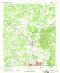
Editions of this 1968 Rockmart North Map
2 editions found
Other maps of this area

1886 · Rome
USGS Topo · 1:125,000

1889 · Tallapoosa
USGS Topo · 1:125,000

1890 · Cartersville
USGS Topo · 1:125,000

1891 · Marietta
USGS Topo · 1:125,000

1891 · Cartersville
USGS Topo · 1:125,000

1892 · Tallapoosa
USGS Topo · 1:125,000

1895 · Marietta
USGS Topo · 1:125,000

1896 · Cartersville
USGS Topo · 1:125,000

1897 · Marietta
USGS Topo · 1:125,000

1897 · Tallapoosa
USGS Topo · 1:125,000