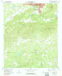
1973 Map of Rockmart South
USGS Topo · Published 1988About this map
Rockmart and the adjacent settlement of Van Wert anchor the northern edge of this survey, where the Southern and Seaboard Coast Line railroads converge. The landscape transitions from these industrial and rail centers into the steep ridges of Vinson Mountain, Paris Mtn, and Everett Mtn. This 1970s record illustrates a rural economy defined by scattered mountain churches and small water bodies like Lake Dorene and Crawford Lake.
Find a feature on this map
52 named features on this map. Tap any name to fly to it.
Don’t see what you’re looking for? This feature index may not catch every label — zoom into the map to look around manually.
Map Details
Editions of this 1973 Rockmart South Map
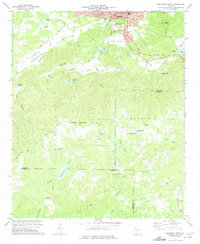
2 editions found
Other maps of this area

1886 · Rome
USGS Topo · 1:125,000

1889 · Tallapoosa
USGS Topo · 1:125,000

1890 · Cartersville
USGS Topo · 1:125,000

1891 · Marietta
USGS Topo · 1:125,000

1891 · Cartersville
USGS Topo · 1:125,000

1892 · Tallapoosa
USGS Topo · 1:125,000

1895 · Marietta
USGS Topo · 1:125,000

1896 · Cartersville
USGS Topo · 1:125,000

1897 · Marietta
USGS Topo · 1:125,000

1897 · Tallapoosa
USGS Topo · 1:125,000