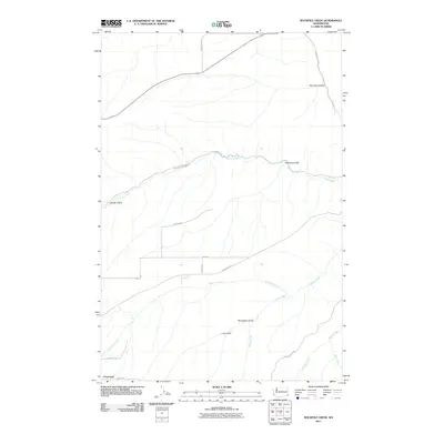
2011 Map of Rockpile Creek
USGS Topo · Published 2011About this map
Cloverland serves as the primary point of settlement in this part of Asotin County, where a network of rural roads such as Mail Route Rd and Cloverland Rd connect upland farms across the plateau. The landscape is defined by its drainage systems, with the deeply carved channels of Asotin Creek and Rockpile Creek drawing water toward the Snake River to the east. The map records a complex series of gulches, including Stringtown Gulch, Long Gulch, and Mcguire Gulch, which reveal the erosive forces shaping this terrain. Local history and genealogy researchers can use the specific road names like Meyers Ridge Rd and Albright Rd to identify historical property boundaries and the movement of goods in an area primarily shaped by ranching and agriculture in the early twenty-first century.
Find a feature on this map
22 named features on this map. Tap any name to fly to it.
Don’t see what you’re looking for? This feature index may not catch every label — zoom into the map to look around manually.
Map Details
Editions of this 2011 Rockpile Creek Map
This is the sole edition of this map. No revisions or reprints were ever made.
Other maps of this area

1943 · Peola
USGS Topo · 1:62,500

1943 · Saddle Butte
USGS Topo · 1:62,500

1944 · Anatone
USGS Topo · 1:62,500

1945 · Clarkston
USGS Topo · 1:62,500

1946 · Saddle Butte
USGS Topo · 1:62,500

1946 · Peola
USGS Topo · 1:62,500

1946 · Anatone
USGS Topo · 1:62,500

1948 · Clarkston
USGS Topo · 1:62,500

1955 · Pullman
USGS Topo · 1:250,000

1958 · Pullman
USGS Topo · 1:250,000