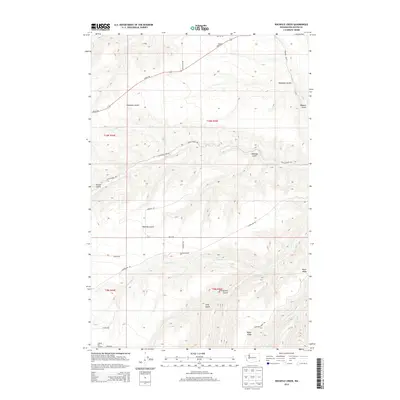
2013 Map of Rockpile Creek
USGS Topo · Published 2013About this map
Asotin Cr and its tributaries carve a network of deep drainage basins across this corner of Asotin County, defining the local geography through a series of named gulches and ridges. The map shows a landscape dominated by topographic relief, where the high ground of Meyer Ridge overlooks the convergence of smaller seasonal streams like Pintler Cr and Reilly Cr. Human presence is marked by a sparse network of ridge-top and valley roads, such as Cloverland Rd and Peola Rd, which follow the natural contours of the land to connect remote homesteads or ranching tracts. The nomenclature of the terrain reflects early land use and settlement history, with features like Stringtown Gulch, Chambers Gulch, and Kearney Gulch suggesting family names or former community clusters. This 2013 survey provides a detailed look at the rural infrastructure and hydrography south of the Snake River before reaching the higher elevations of the Blue Mountains.
Find a feature on this map
30 named features on this map. Tap any name to fly to it.
Don’t see what you’re looking for? This feature index may not catch every label — zoom into the map to look around manually.
Map Details
Editions of this 2013 Rockpile Creek Map
This is the sole edition of this map. No revisions or reprints were ever made.
Other maps of this area

1943 · Peola
USGS Topo · 1:62,500

1943 · Saddle Butte
USGS Topo · 1:62,500

1944 · Anatone
USGS Topo · 1:62,500

1945 · Clarkston
USGS Topo · 1:62,500

1946 · Saddle Butte
USGS Topo · 1:62,500

1946 · Peola
USGS Topo · 1:62,500

1946 · Anatone
USGS Topo · 1:62,500

1948 · Clarkston
USGS Topo · 1:62,500

1955 · Pullman
USGS Topo · 1:250,000

1958 · Pullman
USGS Topo · 1:250,000