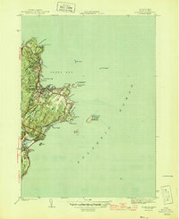
1945 Map of Rockport
USGS Topo · Published 1945About this map
Pigeon Cove and the town of Rockport stand at the edge of the Atlantic Ocean in this mid-century survey. The landscape is defined by the granite-lined coast and the maritime infrastructure supporting it, from the Breakwater sheltering Sandy Bay to the vital navigational beacons like Straitsmouth Lighthouse and the Cape Ann Lighthouse on Thacher Island. Inland, the terminus of the Boston and Main railroad connects these coastal settlements to the mainland, while local landmarks such as Beach Grove Cem and Cape Pond offer points of interest for genealogical and local history research. The detailed shoreline mapping traces every indentation from Folly Cove to Bass Rocks, including small offshore features like the Dry Salvages and Milk I. This era shows the region as a mature fishing and quarrying hub, with a network of roads extending to residential areas at Brier Neck and the rugged northern tip of Halibut Pt.
Find a feature on this map
37 named features on this map. Tap any name to fly to it.
Don’t see what you’re looking for? This feature index may not catch every label — zoom into the map to look around manually.
Map Details
Editions of this 1945 Rockport Map
4 editions found
Other maps of this area

1886 · Gloucester
USGS Topo · 1:62,500

1888 · Gloucester
USGS Topo · 1:62,500

1893 · Gloucester
USGS Topo · 1:62,500

1918 · Gloucester
USGS Topo · 1:62,500

1943 · Cape Ann
USGS Topo · 1:125,000
1945 · Rockport
USGS Topo · 1:31,680
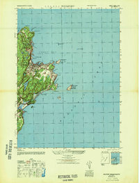
1947 · Rockport
USGS Topo · 1:25,000

1948 · Boston
USGS Topo · 1:250,000
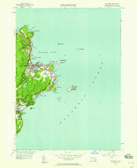
1949 · Rockport
USGS Topo · 1:24,000

1956 · Boston
USGS Topo · 1:250,000