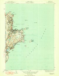
1945 Map of Rockport
USGS Topo · Published 1945About this map
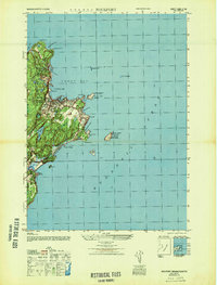
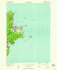
Thacher Island and its twin North Tower structures sit off the coast of this Essex County seafaring landscape, which was revised just after the war. The map reveals the dense coastal development of Rockport and Pigeon Cove, where the granite industry and maritime commerce shaped the shoreline. From the prominent heights of Pool Hill and Pigeon Hill to the jagged coastline at Halibut Pt, the terrain shows a mix of residential expansion and preserved open space like the Rockport Golf Club.
Find a feature on this map
45 named features on this map. Tap any name to fly to it.
Don’t see what you’re looking for? This feature index may not catch every label — zoom into the map to look around manually.
Map Details
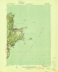
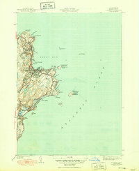
Editions of this 1945 Rockport Map
4 editions found
Other maps of this area

1886 · Gloucester
USGS Topo · 1:62,500

1888 · Gloucester
USGS Topo · 1:62,500

1893 · Gloucester
USGS Topo · 1:62,500

1918 · Gloucester
USGS Topo · 1:62,500

1943 · Cape Ann
USGS Topo · 1:125,000
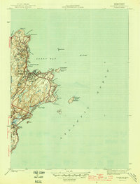
1945 · Rockport
USGS Topo · 1:31,680
1947 · Rockport
USGS Topo · 1:25,000

1948 · Boston
USGS Topo · 1:250,000
1949 · Rockport
USGS Topo · 1:24,000

1956 · Boston
USGS Topo · 1:250,000