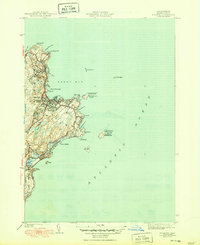
1945 Map of Rockport
USGS Topo · Published 1950About this map
The rocky protrusion of Cape Ann dominates this coastal survey, highlighting the intricate maritime and terrestrial landscape of Essex County in the late 1940s. The town of Rockport serves as the central hub, with its street grid including Main St and Thacher Road leading out to the Atlantic. This era captures the area's dual identity as a working coastal community and a recreational destination, evidenced by the Boston and Maine RR terminus near the harbor and the Rockport Golf Club inland.
Find a feature on this map
42 named features on this map. Tap any name to fly to it.
Don’t see what you’re looking for? This feature index may not catch every label — zoom into the map to look around manually.
Map Details
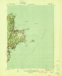
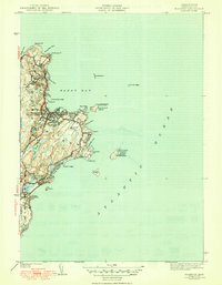
Editions of this 1945 Rockport Map
4 editions found
Other maps of this area

1886 · Gloucester
USGS Topo · 1:62,500

1888 · Gloucester
USGS Topo · 1:62,500

1893 · Gloucester
USGS Topo · 1:62,500

1918 · Gloucester
USGS Topo · 1:62,500

1943 · Cape Ann
USGS Topo · 1:125,000
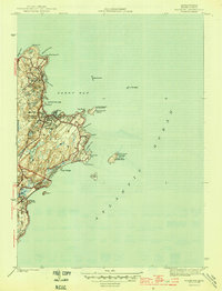
1945 · Rockport
USGS Topo · 1:31,680
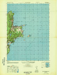
1947 · Rockport
USGS Topo · 1:25,000

1948 · Boston
USGS Topo · 1:250,000
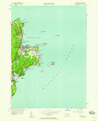
1949 · Rockport
USGS Topo · 1:24,000

1956 · Boston
USGS Topo · 1:250,000