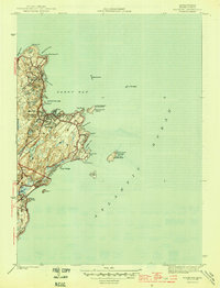
1945 Map of Rockport
USGS Topo · Published 1945About this map
Cape Ann's eastern coastline is defined by granite points and deep-water coves in this wartime survey by W. C. Thompson. The settlement at Rockport serves as a central hub, with the Boston and Main railroad line extending north into Pigeon Cove. Local history is preserved at the Beach Grove Cem, while the maritime character of the era is marked by essential navigation aids like the Straitsmouth Lighthouse and the dual-towered installation on Thacher Island, featuring the Cape Ann Lighthouse and the North Tower.
Find a feature on this map
38 named features on this map. Tap any name to fly to it.
Don’t see what you’re looking for? This feature index may not catch every label — zoom into the map to look around manually.
Map Details
Editions of this 1945 Rockport Map
4 editions found
Other maps of this area

1886 · Gloucester
USGS Topo · 1:62,500

1888 · Gloucester
USGS Topo · 1:62,500

1893 · Gloucester
USGS Topo · 1:62,500

1918 · Gloucester
USGS Topo · 1:62,500

1943 · Cape Ann
USGS Topo · 1:125,000
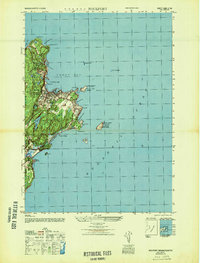
1947 · Rockport
USGS Topo · 1:25,000

1948 · Boston
USGS Topo · 1:250,000
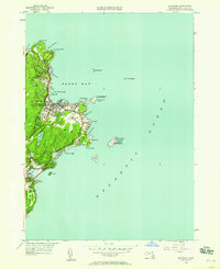
1949 · Rockport
USGS Topo · 1:24,000

1956 · Boston
USGS Topo · 1:250,000

1958 · Boston
USGS Topo · 1:250,000