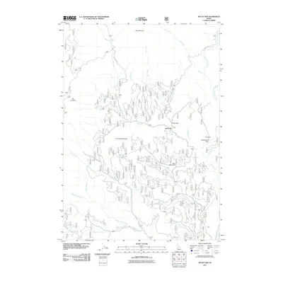
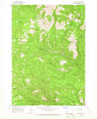
2011 Map of Rocky Bar
USGS Topo · Published 2011About this map
Rocky Bar is the primary settlement in this corner of Elmore County, situated at the confluence of several steep drainages including Bear Creek and Steel Creek. The topography is dominated by the massive rise of Steel Mountain to the north and Horse Ranch Mountain centrally, while the western edge is defined by the high alignment of Trinity Ridge Rd. The map illustrates a landscape of intense verticality, where narrow gulches like Hardscrabble Gulch, Blake Gulch, and Wide West Gulch descend toward the Feather River system.
Find a feature on this map
33 named features on this map. Tap any name to fly to it.
Don’t see what you’re looking for? This feature index may not catch every label — zoom into the map to look around manually.
Map Details
Editions of this 2011 Rocky Bar Map
This is the sole edition of this map. No revisions or reprints were ever made.
Other maps of this area

1894 · Rocky Bar
USGS Topo · 1:125,000

1955 · Hailey
USGS Topo · 1:250,000

1959 · Hailey
USGS Topo · 1:250,000

1962 · Hailey
USGS Topo · 1:250,000
1964 · Featherville
USGS Topo · 1:24,000
1964 · Trinity Mtn
USGS Topo · 1:24,000

1964 · Little Trinity Lake
USGS Topo · 1:24,000

1964 · Cayuse Point
USGS Topo · 1:24,000
1964 · Grouse Butte
USGS Topo · 1:24,000
1964 · Rocky Bar
USGS Topo · 1:24,000