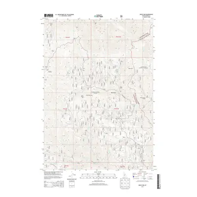
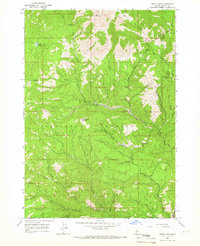
2013 Map of Rocky Bar
USGS Topo · Published 2013About this map
Rocky Bar stands as the central settlement in this high-altitude landscape within the Boise National Forest and Sawtooth National Forest. The topography is defined by significant elevations like Steel Mtn and Horse Ranch Mtn, with a complex network of drainage systems including the Feather River and Johnson Fork. The naming of features such as Wide West Gulch, Hardscrabble Gulch, and Red Warrior Cr reflects the area's deep ties to Idaho's mining history, specifically the lode mining that flourished in the Bear Creek district. Modern access is facilitated by the Rocky Bar Rd and Trinity Mountain Rd, while the Elk Spring Campground provides a point of reference for outdoor recreation near the many creek junctions like Butler Gulch Cr and N Fork Steel Cr.
Find a feature on this map
36 named features on this map. Tap any name to fly to it.
Don’t see what you’re looking for? This feature index may not catch every label — zoom into the map to look around manually.
Map Details
Editions of this 2013 Rocky Bar Map
This is the sole edition of this map. No revisions or reprints were ever made.
Other maps of this area

1894 · Rocky Bar
USGS Topo · 1:125,000

1955 · Hailey
USGS Topo · 1:250,000

1959 · Hailey
USGS Topo · 1:250,000

1962 · Hailey
USGS Topo · 1:250,000
1964 · Featherville
USGS Topo · 1:24,000
1964 · Trinity Mtn
USGS Topo · 1:24,000

1964 · Little Trinity Lake
USGS Topo · 1:24,000

1964 · Cayuse Point
USGS Topo · 1:24,000
1964 · Grouse Butte
USGS Topo · 1:24,000
1964 · Rocky Bar
USGS Topo · 1:24,000