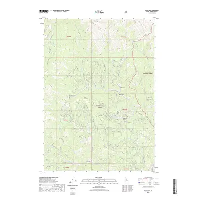
2020 Map of Rocky Bar
USGS Topo · Published 2020About this map
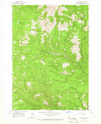
Rocky Bar sits at the heart of this high-elevation landscape, where the Boise National Forest meets the Sawtooth National Forest. The terrain is defined by prominent peaks like Steel Mtn and Horse Ranch Mtn, dropping into deep drainages carved by the Feather River and its numerous tributaries. A complex network of gulches—including Blake Gulch, Dry Gulch, and the evocative Hardscrabble Gulch—suggests a history of rugged resource extraction and prospecting.
Find a feature on this map
53 named features on this map. Tap any name to fly to it.
Don’t see what you’re looking for? This feature index may not catch every label — zoom into the map to look around manually.
Map Details
Editions of this 2020 Rocky Bar Map
This is the sole edition of this map. No revisions or reprints were ever made.
Other maps of this area

1894 · Rocky Bar
USGS Topo · 1:125,000

1955 · Hailey
USGS Topo · 1:250,000

1959 · Hailey
USGS Topo · 1:250,000

1962 · Hailey
USGS Topo · 1:250,000
1964 · Featherville
USGS Topo · 1:24,000
1964 · Trinity Mtn
USGS Topo · 1:24,000

1964 · Little Trinity Lake
USGS Topo · 1:24,000

1964 · Cayuse Point
USGS Topo · 1:24,000
1964 · Grouse Butte
USGS Topo · 1:24,000
1964 · Rocky Bar
USGS Topo · 1:24,000