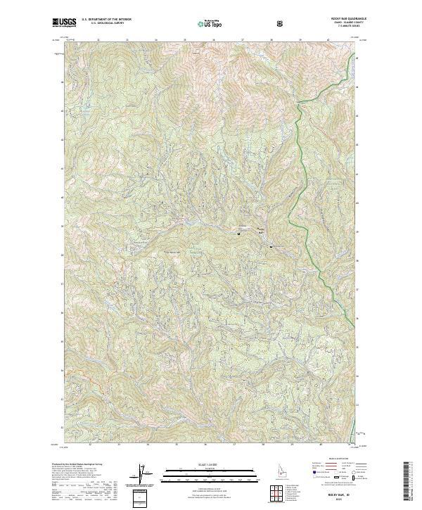
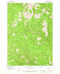
2023 Map of Rocky Bar
USGS Topo · Published 2023About this map
Rocky Bar serves as the focal point of this mountainous region within the Boise National Forest and Sawtooth National Forest. The landscape is defined by steep drainages and prominent peaks like Steel Mtn and Horse Ranch Mtn. Two distinct burial sites, the Rocky Bar Cem and the Rocky Bar Bear Creek Cem, offer primary reference points for genealogists and local historians tracking early inhabitants of this Idaho back country. The intricate network of Forest Service roads, including the Lincoln Creek Loop, follows the natural contours of the terrain. High-altitude wetlands such as Dismal Swamp and numerous watercourses like the Feather River and Whiskey Jack Creek demonstrate the complex hydrology of the Trinity Ridge area. The map illustrates how human activity, from cemeteries to roadways, remains concentrated along the gulches and creek beds that carve through the high elevations.
Find a feature on this map
48 named features on this map. Tap any name to fly to it.
Don’t see what you’re looking for? This feature index may not catch every label — zoom into the map to look around manually.
Map Details
Editions of this 2023 Rocky Bar Map
This is the sole edition of this map. No revisions or reprints were ever made.
Other maps of this area

1894 · Rocky Bar
USGS Topo · 1:125,000

1955 · Hailey
USGS Topo · 1:250,000

1959 · Hailey
USGS Topo · 1:250,000

1962 · Hailey
USGS Topo · 1:250,000
1964 · Featherville
USGS Topo · 1:24,000
1964 · Trinity Mtn
USGS Topo · 1:24,000

1964 · Little Trinity Lake
USGS Topo · 1:24,000

1964 · Cayuse Point
USGS Topo · 1:24,000
1964 · Grouse Butte
USGS Topo · 1:24,000
1964 · Rocky Bar
USGS Topo · 1:24,000