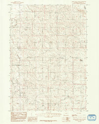
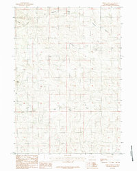
1984 Map of Rocky Butte Gulch
USGS Topo · Published 1992About this map
The Belle Fourche River winds through the northwestern corner of this Campbell County landscape, carving through high plains terrain defined by an intricate network of drainages and intermittent streams. Water management is central to the area's utility, evidenced by the Marquiss Reservoir and the Rock Butte No 2 Reservoir, which provide essential collection points in this arid environment. The map details the complex topography of Rocky Butte Gulch and the surrounding draws that feed into Hay Creek.
Find a feature on this map
8 named features on this map. Tap any name to fly to it.
Don’t see what you’re looking for? This feature index may not catch every label — zoom into the map to look around manually.
Map Details
Editions of this 1984 Rocky Butte Gulch Map
2 editions found
Other maps of this area

1955 · Newcastle
USGS Topo · 1:250,000

1958 · Newcastle
USGS Topo · 1:250,000

1959 · North Star School
USGS Topo · 1:62,500

1960 · Turnercrest
USGS Topo · 1:62,500

1971 · Reno Junction
USGS Topo · 1:24,000

1971 · Little Thunder Reservoir
USGS Topo · 1:24,000
1971 · Eagle Rock
USGS Topo · 1:24,000

1974 · Reno Junction
USGS Topo · 1:100,000
1984 · Threemile Creek Reservoir
USGS Topo · 1:24,000
1984 · Persson Draw
USGS Topo · 1:24,000