Loading...
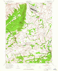
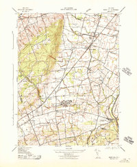
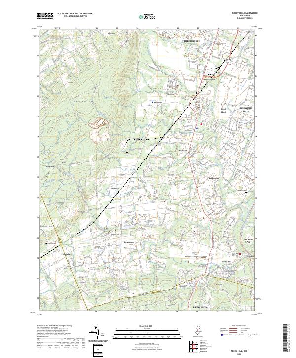
Loading map...1954 Map of Rocky Hill
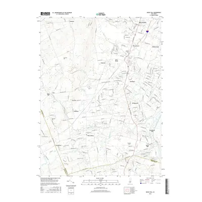
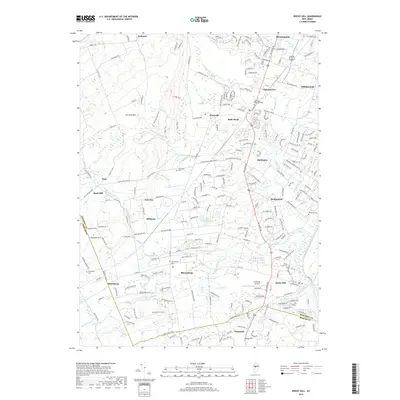
USGS Topo · Published 1964About this map
Sourland Mountain dominates the western landscape of this mid-century New Jersey quadrangle, providing a sharp contrast to the institutional and military developments in the surrounding lowlands. The sprawling U S Military Reservation (Belle Mead General Depot) stands as a major logistical hub alongside the Reading railroad, while the New Jersey Neuropsychiatric Institute near Skillman occupies a significant tract of land in Montgomery.
Find a feature on this map
47 named features on this map. Tap any name to fly to it.
Don’t see what you’re looking for? This feature index may not catch every label — zoom into the map to look around manually.
Map Details
Date Portrayed1954
Date Published1964
PublisherU.S. Geological Survey
Map TypeTopographic
Scale1:24,000
Physical Dimensions22 x 26.8 inches
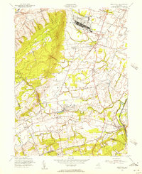
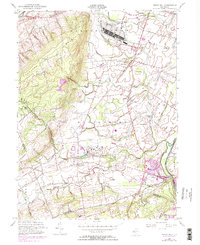
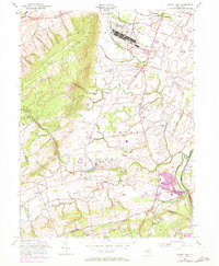
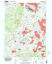
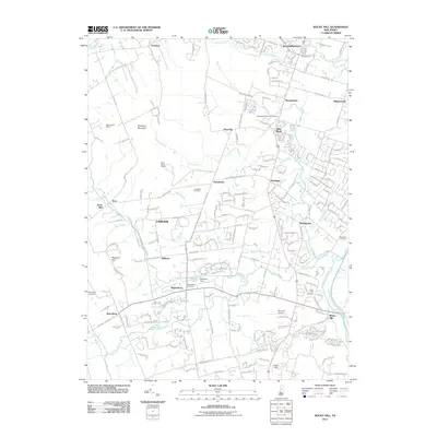
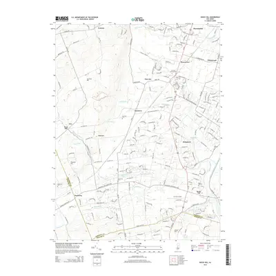
Editions of this 1954 Rocky Hill Map
4 editions found
Historical Maps of Franklin Township Through Time
8 maps found
Featured Locations
- Hopewell Township, NJ
- Princeton, NJ
- Franklin Township, NJ
- Hillsborough Township, NJ
- Montgomery Township, NJ
Source Details
SourceU.S. Geological Survey
CopyrightPublic Domain